Disasters
TOP STORY
Inside DPS
How does government plan for an earthquake?
Let’s start by talking about transportation
After an earthquake…

Where do you land airplanes with relief supplies and equipment?
Ideally, Salt Lake City International Airport.
But… that airport is in a high liquefaction zone. What if it’s not available?
Hill Air Force Base is close, and its location is less susceptible to liquefaction.
But… any supplies that arrive may not be able to travel south due to a congested or damaged freeway and potential hazardous materials releases from refineries.
What about the South Valley Regional Airport in West Jordan?
It’s nice and close to the affected area of such an earthquake.
But… it can’t support the weight of large military cargo planes.
These are the questions we’re wrestling with. We look at plans and backup plans and backups to the backups. We have to pick apart every option so federal government responders arriving from outside of Utah will know what they are dealing with in a disaster. Why are we doing this?
Worst-case scenario Wasatch Fault earthquake:
- Magnitude 7.0
- 80 percent of Utah’s population lives and works near the fault
- Middle of winter
- Roads, utilities and infrastructure damaged.
Here’s what it would look like:
By now, many people are aware of what a devastating earthquake would do to the Salt Lake City metro area. The public side of preparedness comes to you through our Be Ready Utah program and the Great Utah ShakeOut earthquake drill.
Personal preparedness is key.
But Utahns need to know their government is figuring out the best plans to get critical relief supplies and equipment into an area damaged by such a catastrophic earthquake.
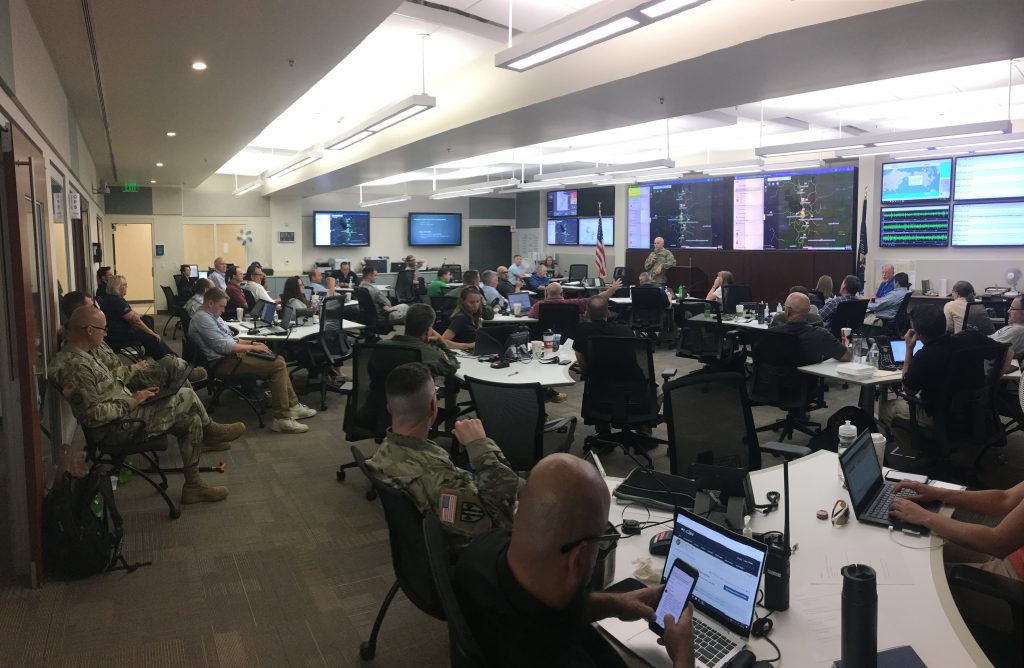
For the past few months, our Division of Emergency Management working with partners at FEMA and the Department of Defense, as well as experts in the following lifeline areas to update the catastrophic earthquake plan: safety and security; food, water and shelter; health and medical; energy; communications; transportation; and hazardous materials.

On Wednesday, DEM kicked off another round of discussions focused specifically on transportation feasibility. This analysis will take the identified necessary resources and personnel coming to support an earthquake response and compare that with the available transportation capacity.
Then it will combine that information with data on how much stuff moves into, through, and out of the Wasatch Front and compare that to what transportation infrastructure is still viable based on the earthquake modeling software. Outcomes of this analysis will be presented to senior leaders on federal, state, and local levels in October of 2020.
What comes in first? How is it going to get here, what routes? Where will it get staged? How do we get it to where it needs to go?
Angela Lang, planning manager for Division of Emergency Management
The decisions we need to make are not easy, as you could see from the airport availability example above, but the planning efforts that are going on behind the scenes are most importantly being done now, while we still have time.
Do you have a comment on catastrophic planning? Send the Division of Emergency Management a message here.
Joe Dougherty is the public information officer for our Division of Emergency Management, jdougherty@utah.gov



SHARE THIS STORY